Trail Walking Le Prêcheur - La pelé depuis le parking Martineaud - Photo

La pelé depuis le parking Martineaud

 tercla
tercla

User

© OpenStreetMap contributors
Length
Length
6.5 km
Max alt
Max alt
1380 m
Uphill gradient
Uphill gradient
723 m
Km-Effort
Km-Effort  
16.2 km
Min alt
Min alt
685 m
Downhill gradient
Downhill gradient
725 m
Boucle
Boucle
Yes
Creation date :
2021-01-22 14:22:24.586
Updated on :
2021-01-23 01:03:43.801

(0 Reviews)

Walking
Walking
5h56
Difficulty : Very difficult

Scan this QR Code to open this trail in the SityTrail application

FREE GPS app for hiking

Logo SityTrail SityTrail

IGN / Geographical institutes

Download SityTrail from the App Store Download SityTrail from Google Play

Logo SityTrail SityTrail World

The world is yours!

Download SityTrail from the App Store Download SityTrail from Google Play Download SityTrail on Huawei AppGallery

About

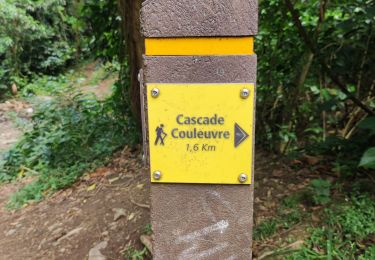
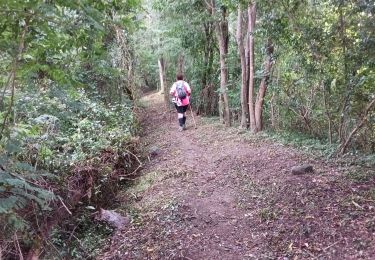
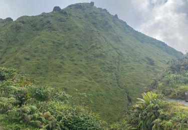
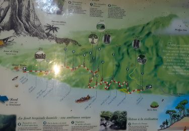
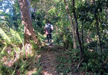
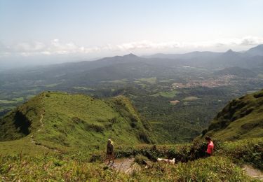
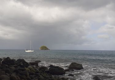
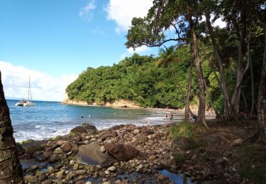
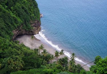
Trail Walking of 6.5 km to be discovered at Martinique, Unknown, Le Prêcheur. This trail is proposed by tercla.

Description

Randonnée physique. Il est conseillé d'avoir des chaussures de randonnée. Prévoir  de l'eau.

Elevation profile

Photos

31 photos in total. Please click on a photo to see them all in the gallery.

Positioning

Country:
France
Region :
Martinique
Department/Province :
Unknown
Municipality :
Le Prêcheur
Location:
Unknown
Start:(UTM)
695467 ; 1638015 (20P) N.

Trails nearby

Trail Walking Le Prêcheur - Cascade de l'anse Couleuvre, depuis anse Céron en aller-retour ! - Photo
Walking
GUIDE
GabyG

Walking

Difficult
Le Prêcheur, Martinique, Unknown, France
3.6 km | 7.2 km-effort
2h 0min
No
Trail Walking Le Prêcheur - Sentier Martineaud  Le Prêcheur - Photo
Walking
GUIDE
Lamartiniere

Walking

Medium
Le Prêcheur, Martinique, Unknown, France
4.4 km | 11.2 km-effort
2h 10min
No
Trail Walking L'Ajoupa-Bouillon - Montagne pelée  - Photo
Walking
GUIDE
Alizée.pee

Walking

Difficult
L'Ajoupa-Bouillon, Martinique, Unknown, France
7.5 km | 16.5 km-effort
6h 2min
Yes
Trail Walking Le Prêcheur - Traces des Anses - Photo
Walking
GUIDE
Lamartiniere

Walking

Easy
Le Prêcheur, Martinique, Unknown, France
4.7 km | 7.2 km-effort
2h 0min
Yes
Trail Walking Le Prêcheur - Sentier Martineaud - Photo
Walking
GUIDE
Lamartiniere

Walking

Medium
Le Prêcheur, Martinique, Unknown, France
9.8 km | 0 m-effort
3h 45min
Yes
Trail Walking L'Ajoupa-Bouillon - Montagne Pelée - Photo
Walking
GUIDE
David25400

Walking

Medium
L'Ajoupa-Bouillon, Martinique, Unknown, France
7.8 km | 16.8 km-effort
4h 49min
Yes
Trail Walking Le Prêcheur - Anse couleuvre Grand Rivière  - Photo
Walking
tercla

Walking

Very difficult
Le Prêcheur, Martinique, Unknown, France
15.8 km | 28 km-effort
6h 0min
No
Trail Walking Le Prêcheur - Cascade Couleuvre - Photo
Walking
GUIDE
David25400

Walking

Very easy
Le Prêcheur, Martinique, Unknown, France
5.9 km | 10.1 km-effort
6h 1min
Yes
Trail Walking Le Prêcheur - Anse couleuvre vers Rivière Trois-Bras - Photo
Walking
GUIDE
GabyG

Walking

Very difficult
Le Prêcheur, Martinique, Unknown, France
16.4 km | 34 km-effort
7h 49min
Yes


Close
My subscriptions